Skip to content
site logo
  • Donate
  • Subscribe
  • Topics
    • Culture & Community
    • Land & Water​
    • Business & Work
    • Policy & Government
    • Health
    • Education
    • Regional Arts
  • Community Voices
    • Essays
    • Poetry
    • Photo Gallery
    • Multimedia Stories
    • Share a Story
  • Local Events Calendar
  • Contact Us
  • Search

Building Community Through Storytelling

  • Home
  • Topics
    • Culture & Community
    • Land & Water​
    • Business & Work
    • Policy & Government
    • Health
    • Education
    • Regional Arts
  • Community Voices
    • Essays
    • Poetry
    • Photo Gallery
    • Multimedia Stories
    • Share a Story
  • Local Events Calendar
  • Subscribe
  • Donate
  • Search
Recent Posts >
Water Enthusiasts Gain New Access to Cedar River State Water Trail
Lanesboro Sales Barn Completes Theatre-style Renovation
From Quilts to Tote Bags: Twyla Thorson’s 30-Year Legacy of Textile Art

Land & Water​

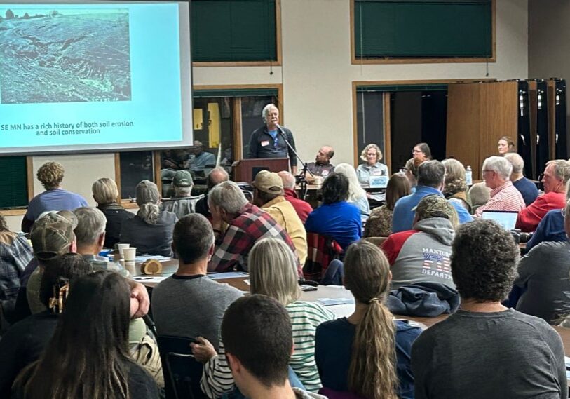
Paul Wotzka, hydrologist and co-founder of the Minnesota Well Owners Organization, speaks about the challenges karst geology presents to water quality in Fillmore County during a Water Quality Forum at Eagle Bluff Environmental Learning Center, Lanesboro, on November 16. (Photo by John Torgrimson)

Local Forums, EPA Raise Questions About SE Minnesota Water Quality | State Agencies Respond

John Torgrimson reports on local, state, and federal action on water quality in karst country.

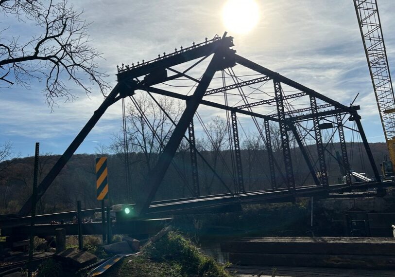
The Historic Forestville bridge, built in 1899, before it was hoisted off its abutments and placed on the south side of the Root River. (Photo by John Torgrimson)

Moving Day for a 19th Century Bridge at Historic Forestville

Dave Shaffer and John Torgrimson chronicle the first phase in the restoration of the Historic Forestville bridge.

Grand Champion honey at the Fillmore County Fair. (All photos by Renee Bergstrom)

Swan Lake — Thousands of Tundra Swans Migrate Each Autumn

John Weiss takes readers on a journey to visit the Tundra Swans near Brownsville.

A family explores Cave of the Mounds, located in Dane County Wisconsin (link in article below). Cave of the Mounds takes its name from the Blue Mounds, two large hill landmarks.  The main cavern began forming over a million years ago as water dissolved the limestone bedrock below the surface. (Photo courtesy of DARK Trail)

Explore the Driftless Area Via the DARK Trail

John Torgrimson looks into the DARK Trail connecting 69 dramatic landscape and discovery sites in the Driftless Area.

Reid Wintersteen, accompanied by his nine-month old son Clayton, helps with river cleanup on the Root River near Lanesboro. His wife Laura picks up trash nearby. (Photo by John Weiss)

Root River Cleanup Has Become an Annual Tradition

John Weiss joins river enthusiasts as they cleanup the Root River.

Fiddlehead ferns, ramps and nettles are readily available in the Spring in Southeast Minnesota. (All photos by Loni Kemp unless noted)

Learning to Forage in Minnesota

UM Extension Educator Katie Drewitz discusses foraging workshops and information sources.

Summer, winter, spring and fall, these boathouses along Lawrence Lake, near Brownsville, are ‘home’ to dozens of river dwellers. (Photos by Nancy North unless otherwise noted).

Life Afloat on the Big Muddy

John Gaddo introduces us to the Lawrence Lake boathouse community just below the Root River’s confluence with the Mississippi River near Brownsville.

The U.S. Army Corps of Engineers is restoring floodplain forest habitat on Mississippi River islands throughout the Reno Bottoms area, east of Houston County, with trees such as river birch, hackberry, cottonwood, silver maple and swamp white oak. Above, Corps forester Sara Rother drives a boat full of trees to be planted on an island south of La Crosse. (Photo by Mark Hoffman, Milwaukee Journal Sentinel)

The Mississippi River’s Floodplain Forests are Dying | The Race is on to Bring Them Back

Madeline Heim reports on efforts at restoring forests along the Mississippi at Reno Bottoms, south of LaCrosse, Wisconsin

From Mound Prairie, you can see a landscape of  fields and bluffs many miles away. (Photos by John Weiss)

Mound Prairie is a Refuge for Rare Native Plants

John Weiss visits a Scientific and Natural Area “goat prairie” in Houston County.

Recent improvements to the Lanesboro Dam on the South Branch of the Root River will give better access to canoes, kayaks, drift boats and other small craft. (Photo by Luke Pfeffer)

Fishing Access Upgraded at Lanesboro’s Historic Dam

Dave Shaffer reports on improvements at the Lanesboro Dam

Smoke haze drifts over a valley in Fillmore County in late June. (Photo by John Torgrimson)

Wildfire Smoke is New Hazard in Upper Midwest

Chloe Johnson reports on wildfire smoke hazards in the Midwest.

The Driftless Region is chock full of cold, clear streams, offering anglers ample opportunities to catch trout.  (Photo courtesy of Bob White, Marine on St. Croix, MN; learn more at BobWhiteStudio.com)

You’ve Entered the Driftless Zone

Steve Harris and John Gaddo explore the Driftless Region and its geological wonders

  • 1
  • 2
  • 3
  • 4
  • 5
  • 6
  • 7
Loading... loader

Follow us

Supported by...

Screenshot
Screenshot

Support Root River Current

CLICK HERE to help pay for the stories you value!


Root River Current logo in white

Root River Current is a 501(c)(3) nonprofit digital magazine serving the greater Root River Valley in Southeast Minnesota.

Info@RootRiverCurrent.org

  • Sign Up For Our Free Newsletter
  • Support Root River Current’s Nonprofit Journalism
  • Pitch a Story | Contributor Guidelines
  • About Us
  • Funding Root River Current
  • Leadership
  • Meet Our Content Contributors
  • Inside Root River Current
  • Contact Us

Copyright Root River Current 2025.